
West Chester ZIP Code Directory Postal Labels
Official USPS routing material associates two ZIP codes with the West Chester postal label. The record standard supports only those two rows. West Chester Township facilities use 45069 at their physical addresses, while 45071 is a secondary ZIP grouped with West Chester and 45069 in USPS routing material. Neither row is a township-polygon claim. USPS did not provide a captured official map proving every Township parcel uses one of these labels, so each address needs its own postal check.
| ZIP | Areas Covered | Post Office | Notes |
|---|---|---|---|
| 45069 | Primary West Chester postal label; Township Hall, Police, Community Development, Brookside, and other local facilities use it | West Chester Post Office | Street-delivery postal label, not a jurisdictional boundary. Verify the specific address with USPS. |
| 45071 | Secondary ZIP grouped with West Chester and 45069 in USPS routing materials | Current facility and delivery classification require USPS confirmation | Historic material identifies a box-fee ZIP, but no current delivery or PO-box classification was captured. |
The West Chester Post Office is at 8730 Cincinnati-Dayton Road, West Chester, OH 45069-9998, with telephone 513-777-2381. Its facility page is useful as a postal contact point, not as proof that the same ZIP covers every township address.
The USPS West Chester Post Office detail page is the source for this West Chester Township ZIP code directory facility reference.
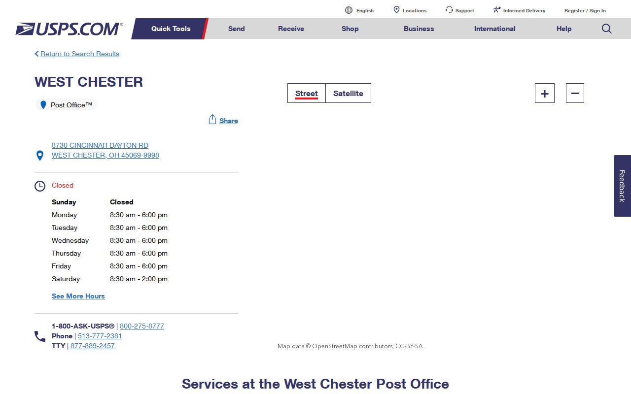
For an address return that needs confirmation, use this postal counter or phone channel after checking the official lookup.
West Chester ZIP Address Verification
USPS ZIP Code Lookup is the primary address-level validation route. Enter the complete street address and retain the returned ZIP label with the date checked. This is more precise than an unofficial boundary shape or an assumption based on a nearby facility. It also avoids treating the central 45069 identity as a rule for every road, development, or historic place within West Chester Township.
- Enter the complete physical street address in USPS ZIP Code Lookup and record the returned postal label and search date.
- Use the street number and street name, not just the ZIP, in Butler County Auditor Address Search. The Auditor instructs users to omit the street suffix.
- Save the parcel PIN and legal-description fields. They are county record keys rather than ZIP keys.
- Use the PIN or address in county GIS for parcel shape, road, boundary, flood, and imagery context.
- Carry the legal description, party name, date, or document reference to the Recorder when a title trail is needed.
A screenshot of the USPS ZIP Code Lookup shows the official starting point for a West Chester Township ZIP code directory address check.
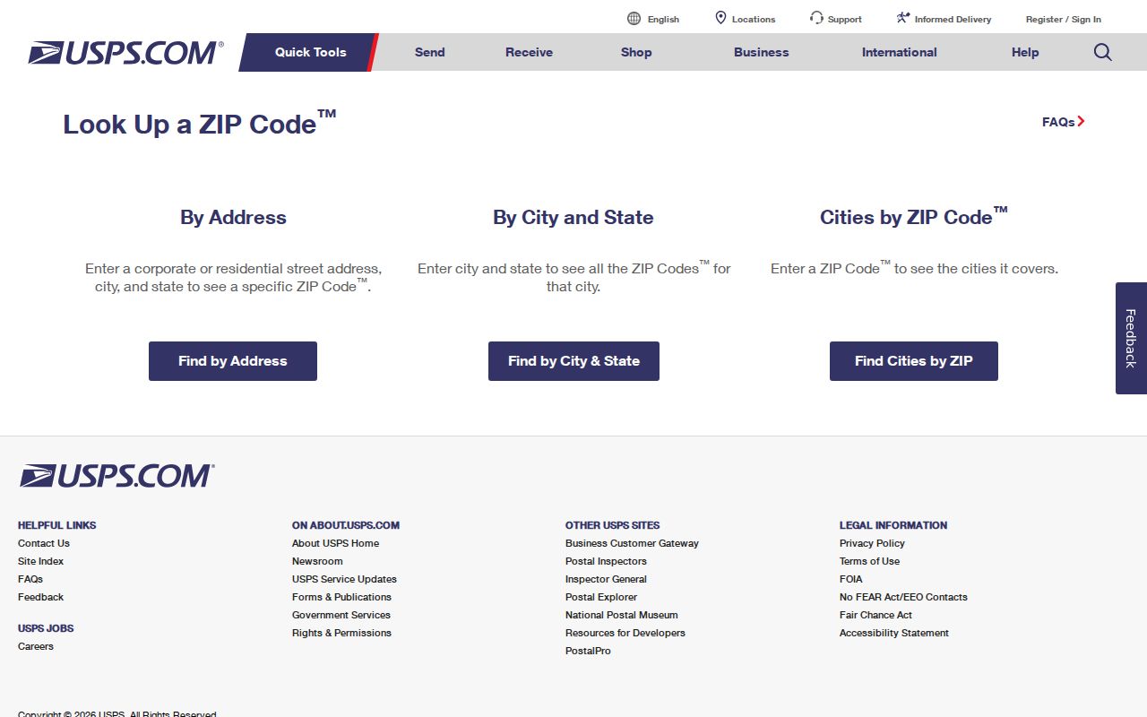
The returned postal routing result should be kept distinct from the county parcel situs and the parcel's tax-mailing address.
West Chester ZIP Code and Parcel Keys
A ZIP code is a postal-routing label. A situs address is the physical parcel location in the Auditor record. A tax-mailing address is where tax correspondence is delivered. A legal description is the lot, block, subdivision, condo, township, or metes-and-bounds description used to join a Recorder instrument to land. These fields can agree, but they serve different systems and should not be substituted for one another.
The Auditor's Owner, Address, and Parcel search modes have no ZIP field. County GIS accepts PIN, owner, or address, with parcel identify and limited geographic tools, not a ZIP-wide resident filter. The Township zoning tool likewise keys on a tax-statement address or parcel. That absence is practical: a person with only a ZIP must first find a lawful, specific street address, then query the local system that actually indexes parcels.
- ZIP versus ZIP+4
- A ZIP is the basic postal routing code. ZIP+4 adds a more specific delivery segment, but it is not a property or jurisdiction identifier.
- PO-box ZIP
- A postal code used for box delivery. No current 45071 PO-box classification was confirmed here, so it must be verified with USPS.
- Unique ZIP
- A code used for one qualifying organization or address arrangement. No unique West Chester Township ZIP was established in the official research.
- Carrier route
- A USPS delivery grouping. It is a postal operational unit, not a Township boundary or resident roster.
Note: Preserve the USPS result, parcel PIN, situs, tax-mail field, and legal description as separate evidence because each one answers a different address question.
West Chester ZIP Code Search Controls
USPS and county systems use different inputs, which is why a West Chester Township ZIP code directory check has more than one step. USPS validates a complete address and returns a postal routing result. The Auditor’s address form instead uses Street Number and Street Name, with the suffix omitted; the GIS viewer accepts PIN, owner, or address; and the Township zoning map accepts a tax-statement address or parcel number. None of those local controls takes a ZIP-only query.
| USPS ZIP Code Lookup | Complete address validation and postal-label result. |
|---|---|
| Auditor Address Search | Street number plus street name, without Street, Drive, or Road suffix. |
| County GIS | PIN, owner, or address, with parcel selection and nearby-map context. |
| Township zoning map | Tax-statement address or parcel number, followed by parcel detail. |
Keep the postal return beside, rather than in place of, the county’s parcel identifiers. That preserves the difference between mail routing and land-record indexing.
Find West Chester Records by ZIP
A ZIP search is a narrowing step, not a county-record search mode. After USPS confirms an address, the Butler County Auditor can locate a property by street address, owner, parcel ID, map, advanced, or sales search. The address form uses Street Number and Street Name and says not to enter the suffix; an asterisk can be used as a wildcard. It displays a current-data date and can sort results by parcel ID, owner, parcel address, roll, transfer date, or sale price.
From there, use the parcel PIN and legal description to reach the Recorder's indexed real-property documents. Its quick search can find grantor/grantee, subdivision, document type, or document number. Advanced search adds party names, grantor, grantee, recorded-date range, document type, document number, book/page, OCR phrase, and city, subdivision, township, or condo legal controls. The ZIP code itself is not the deed key.
Once the postal label has narrowed a search to a real street address, the West Chester Township streets record path provides the address-by-address parcel and Recorder workflow. It is more accurate for a named road than any broad ZIP grouping.
West Chester ZIP Code Boundary Mismatch
West Chester Township is a township, not an incorporated city, and its postal labels do not match its governmental or record-custody boundaries. A West Chester postal label can occur outside the Township, while an address inside the Township can use Hamilton, Fairfield, Middletown, or Cincinnati as its postal label. That is why the correct route for a parcel is street address or PIN to the County Auditor, not a municipality or ZIP alone.
The Census geography map can help visualize a West Chester geography, but it is not a USPS delivery-boundary source and should not replace per-address postal verification.
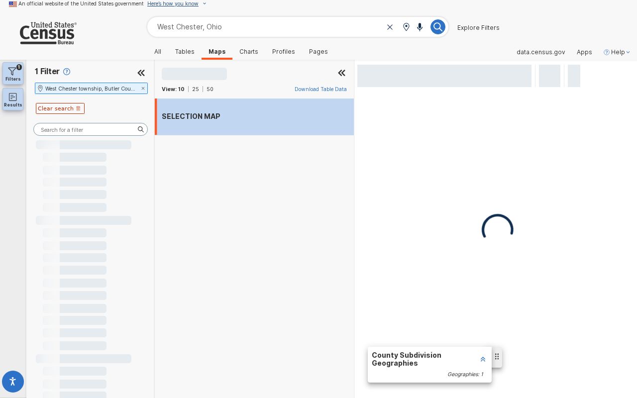
Use the Census geography context for Township-level reference while keeping postal validation and parcel research on their separate official channels.
West Chester ZIP Code Historic Place Labels
Older records may not use today's West Chester Township name or postal wording. The Township was Union Township until the 2000 name change. Older material may use Union Township, Olde West Chester, Mechanicsburgh, Gano, Maud, Port Union, Pisgah, Tylersville, or Rialto. The original village name was Mechanicsburgh before it became West Chester in 1826. Search those place terms alongside a name, date, parcel clue, or legal description.
The record era also matters. Beckett Ridge began as a planned-unit development around 1976, and Wetherington followed in 1992. For a newer development, start with Auditor legal description, parcel, PUD or zoning context, Recorder chain, and imagery. For an old village or corridor, use the Recorder's historical indexes, the 1895 atlas, church or cemetery records, historic newspapers, and the West Chester-Union Township Historical Society. A historic place term is a search aid, not a separate ZIP boundary.
The USPS West Chester Post Office page names Mason 45040 and Sharonville/Cincinnati 45241 as nearby alternate facilities. Those references do not establish Township ZIP coverage. A consumer map may draw postal shapes across political areas, but no captured official USPS polygon proves a Township-wide pattern here. Treat 45071 with the same care: USPS routing groups it with West Chester and 45069, while the current delivery or PO-box classification was not independently confirmed. The fact that a label is nearby or familiar is not enough to attach it to a parcel.
For a dated source that uses an old postal or village term, carry both the historic wording and the current street or legal-description clue to Lane Libraries, Butler County Historical Society, MidPointe, or the West Chester-Union Township Historical Society. Their archives can help reconcile a place name, but county land records remain the route for a parcel. This avoids a false match created by assuming that a historic postal name and a present delivery label describe the same boundary.
A screenshot of the Census West Chester Township profile supplies a Township-scale geography reference for the West Chester Township ZIP code directory.
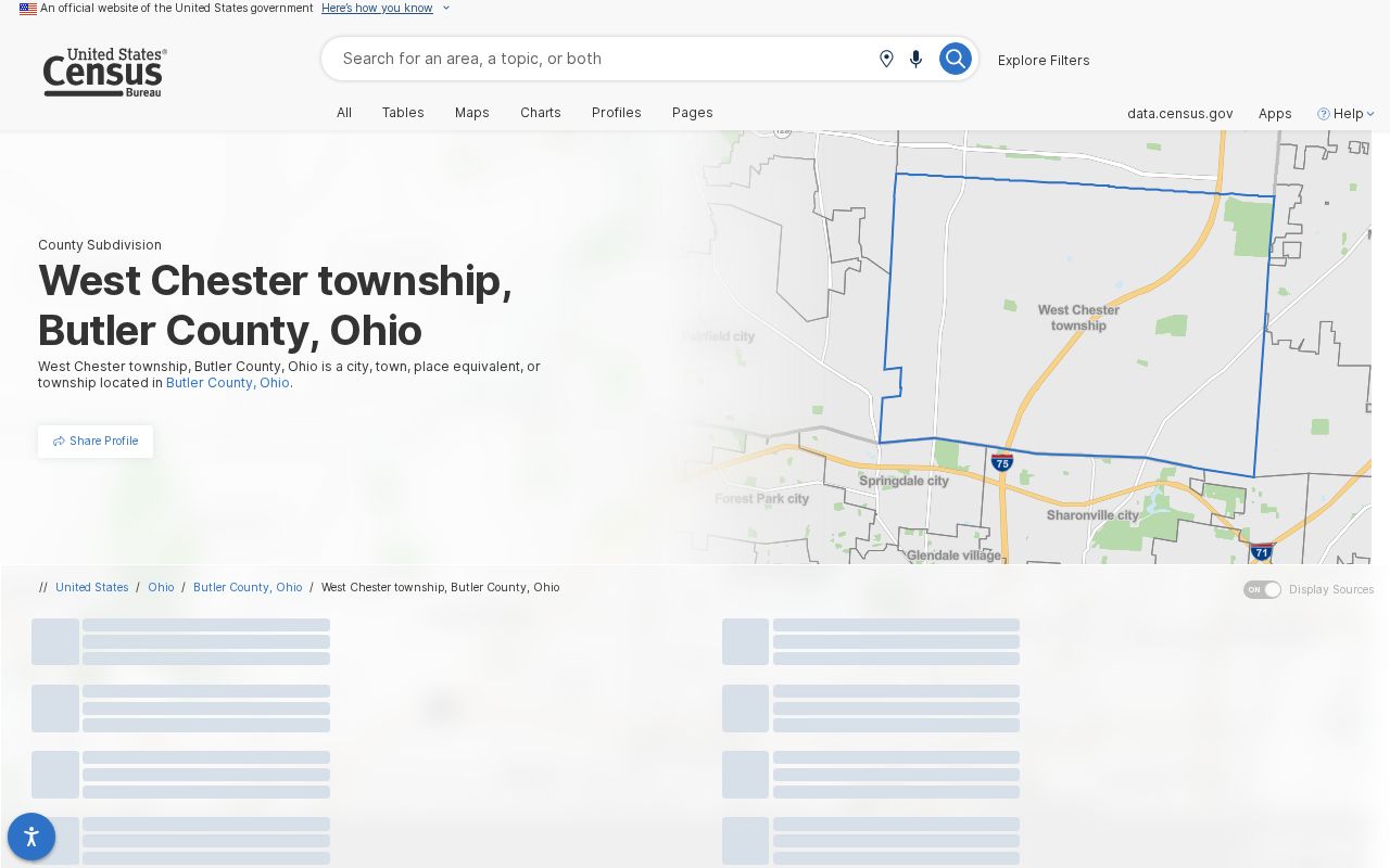
The profile describes Township geography and population context, not a postal area and not a person-level resident record.
West Chester ZIP Code Directory Limits
No official West Chester ZIP-wide property or voter portal was found. The Butler Board of Elections releases a West Chester Township geographic voter CSV, not a postal ZIP file, and its available fields and listing can change. The Auditor, GIS, and Township tools are address or PIN systems. This is why an exhaustive ZIP resident list should not be promised. A no-result in one system can reflect a different search key, a protected record, a historic alias, or a portal coverage limit.
USPS lookup is the primary route. The Post Office counter or phone is the postal fallback. Auditor, GIS, and Recorder provide county property channels once an address or PIN is known. Township Community Development can help normalize a tax-statement address, while MidPointe, Lane Libraries, Butler County Historical Society, and the Historical Society help reconcile old postal and place names. Use a focused Ohio Public Records Act request under ORC 149.43 only for an existing nonconfidential record held by the right custodian.