
Finding West Chester Township Neighbors
Public records around a West Chester Township address describe parcels, assessed owners, recorded transactions, zoning, and narrowly released voter information. They do not make a neighborhood membership list. Start by defining the target parcel and only the immediately surrounding parcels. A listed owner may receive tax mail at a different address, and an owner field does not establish who occupies the property. The best block research preserves that distinction at every step.
| Source | What It Shows About a Block | Access |
|---|---|---|
| Butler County GIS | Contiguous parcel polygons, PIN, location, configured owner output, roads, boundaries, and layers | Public map with narrow selection and buffer tools. |
| Auditor property profile | Listed owner, tax mailing fields, situs, values, transfer clues, and parcel details | Public search, counter, or phone. |
| Recorder instrument | Recorded grantor/grantee, type, date, document number, book/page, and legal description | Cloud search, counter, email, or historic index. |
| Election Vault or precinct route | Lawfully released geographic voter-record context | Current download listing, Board counter, or request route. |
| Township zoning map | District and nearby parcel context | Public map, not ownership or residence proof. |
Use one source to test another. A parcel PIN can connect map geometry to an Auditor record, while the legal description can help match a Recorder document. None of those fields names every neighbor or turns an assessed-owner list into a household record.
West Chester Township Neighbor Parcel Flow
The immediate-block method is intentionally narrower than a named-street review. Butler County GIS supports an address, PIN, or owner search, an individual parcel click, and a small geographic selection. Save the target PIN before moving outward. That identifier is more stable than a name match and makes it possible to compare each parcel separately in the Auditor and Recorder systems.
- Search the target address, PIN, or owner in the Butler County GIS viewer and note the target PIN and location.
- Click contiguous parcel polygons, or use a small buffer, to identify the few adjacent parcels relevant to the question.
- Open each selected PIN in the Auditor profile and preserve owner, situs, tax-mail, legal-description, and transfer fields as distinct fields.
- Use the legal description and listed owner in Recorder search to confirm a recorded transaction for that parcel, not to infer residence.
- Stop at the defined block area. A whole-street record chain belongs in the West Chester Township street directory workflow.
Address → target PIN → adjacent parcel → listed owner and mailing fields → Recorder instrument is the useful process flow. It produces a reviewable property trail, not a list of people living on the block.
West Chester Township GIS Buffer Tools
The GIS viewer can suggest up to six partial or non-exact matches and returns configured PIN, OWNER, and LOCATION output. Its parcel-identify, point, box, polygon, and freehand controls allow a defined selection. The proximity buffer defaults to 100 feet and accepts feet or meters, with center-point or polygon choices. Select By Buffer can be useful for a short block face when map clicks alone are unclear.
Keep the selection small. The parcel layer has a 2,000-feature query limit, so an open-ended area is less reliable and less appropriate than a few adjacent parcels. Parcel, road, township or municipal boundary, FEMA flood hazard, and imagery layers add map context. Historic imagery years are available in the viewer, but imagery does not identify a person or establish a household.
Butler County Engineer township services are the source shown in this West Chester Township neighbor-map reference image.
Township and road context helps distinguish the local geography before a selected parcel is compared with county property records.
Note: A small buffer is a map-selection tool, not a public-radius search for people who live nearby.
West Chester Township Adjacent Owner Fields
Auditor and GIS output is strongest when it is read as property information. The current parcel service includes parcel identifiers, OWNER, mailing-name and mailing-address fields, LOCATION, legal-description lines, acreage, use or class, value, sale, year-built, stories, and homestead or exemption fields. The search lets a reviewer move from a parcel polygon to the individual assessment profile. That is the official route for a listed owner and tax-mail context.
LOCATION is the situs, or physical parcel address. MAILADR fields are delivery fields for tax correspondence and can differ from the situs. A match can be consistent with an owner living there, but it never proves it. The parcel layer has no deed image and no household roster. Carry the PIN and legal lines to the Recorder rather than trying to determine occupancy from a mailing field.
West Chester Township 200-Foot Notice Records
West Chester Township publishes a 200-foot adjacent-owner form for a defined zoning proceeding. It calls for owner, tax mailing address, ZIP, and parcel-number information. That is useful evidence that the Township uses tax-mail owner data for a particular zoning-notice process. It is not a standing neighbor directory and it cannot establish who lives inside any listed property.
For zoning context, the Township's map accepts a tax-statement address or parcel number and asks users to omit the suffix. Community Development can receive a targeted request for an existing zoning or permit file. Its public map and a zoning notice explain a parcel or project context, while the Auditor and Recorder remain the property-record channels.
West Chester Township Neighborhood Watch Limits
West Chester Police reports nearly 30 Neighborhood Watch groups and directs program questions to Community Affairs. That outreach network is a real local community context, but it is not a public group-name or member directory. The Township also refers residents to a relevant HOA in limited property or easement contexts, yet no official consolidated HOA contact or membership directory was found. A voluntary security-camera registry is confidential unless subject to court order and does not give anyone direct access to camera feeds.
| Local contact or source | Appropriate use | Important boundary |
|---|---|---|
| West Chester Police Community Affairs, 513-759-3977 | Neighborhood Watch program information | Does not publish a Watch membership list. |
| Community Development, 9577 Beckett Road, Suite 100, 513-777-4214 | Zoning, property-maintenance, and defined record-request context | Not an HOA or household directory. |
| West Chester-Union Township Historical Society, 513-874-4373 | Historic place names, local-history questions, church or cemetery context | Not county property custody or a current resident index. |
| West Chester-Liberty Chamber Alliance | Public business-member directory | Business membership is not neighborhood membership. |
These are process and history contacts, not alternative routes to a private neighborhood roster. Respecting that boundary keeps a local inquiry tied to the records that actually exist.
West Chester Township Neighbor Voter Access
Ohio's individual My Voter Information portal takes first name, last name, and county to confirm registration, precinct, and polling location. It is not a map of West Chester Township neighbors. The geographic channel is the Butler County Board of Elections Election Vault, which posts a rolling West Chester Township CSV and other district, precinct, ward, municipality, and school-district files. Its listing changes over time and has no street-search form.
ORC 3503.13 makes voter forms and database material public subject to exceptions. Phone, email, identification data, confidential voter records, protected public-service-worker addresses, proof of citizenship, and Safe at Home records are not public in this way. Under ORC 111.44, Safe at Home participant names, addresses, and precincts stay out of public lists. Absence from a file therefore does not establish that someone is not part of a block.
The Butler County Election Vault public-records listing is shown in this West Chester Township neighbor-record reference image.
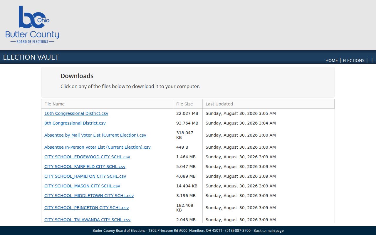
The listing is a public geographic-file route. Retain its date and use only the records and fields lawfully released by the Board.
Note: Correct precinct-list copying can be temporarily limited near an election when copying would interfere with Board work.
West Chester Township Historic Block Names
Older West Chester blocks may not appear under the present township name. The government was Union Township until 2000, and Mechanicsburgh was renamed West Chester in 1826. Port Union, Tylersville, Rialto, Gano, Maud, and Pisgah are also useful historic place terms. A current parcel and legal description should be kept alongside each older place reference before an atlas, newspaper, cemetery, church, or directory lead is connected to a present address.
The West Chester-Union Township Historical Society is the local channel for historic aliases and community context. It operates from the Station Road Schoolhouse and asks visitors to confirm current access before arriving.
The Historical Society contact source is shown in this West Chester Township neighbor-history reference image.
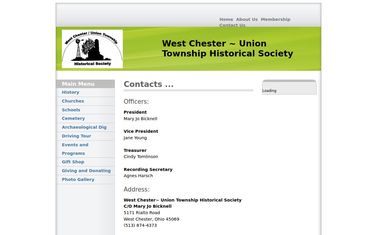
A historic block name can guide a careful archive request, but it does not identify current people at the address.
Official West Chester Neighbor Sources
Official property and election sources have defined custodians, fields, and access limits. Commercial neighbor-lookup categories may combine public material, public social profiles, and broker data, but their records can be wrong and their removal procedures are provider-specific. Neither category should be treated as a full household list. For a parcel question, the county record remains the source to verify.
| Source category | Best use | Limit to remember |
|---|---|---|
| Official Auditor, GIS, Recorder, and Board records | Verify parcel, listed owner, recorded instrument, map context, or lawfully released voter material | Fields have record-specific meanings and confidentiality limits. |
| Commercial neighbor-lookup category | General lead that needs independent verification | May combine stale or incorrect material and is not an official household register. |
Butler County Sheriff's record-request information is shown in this West Chester Township neighbor-source reference image.
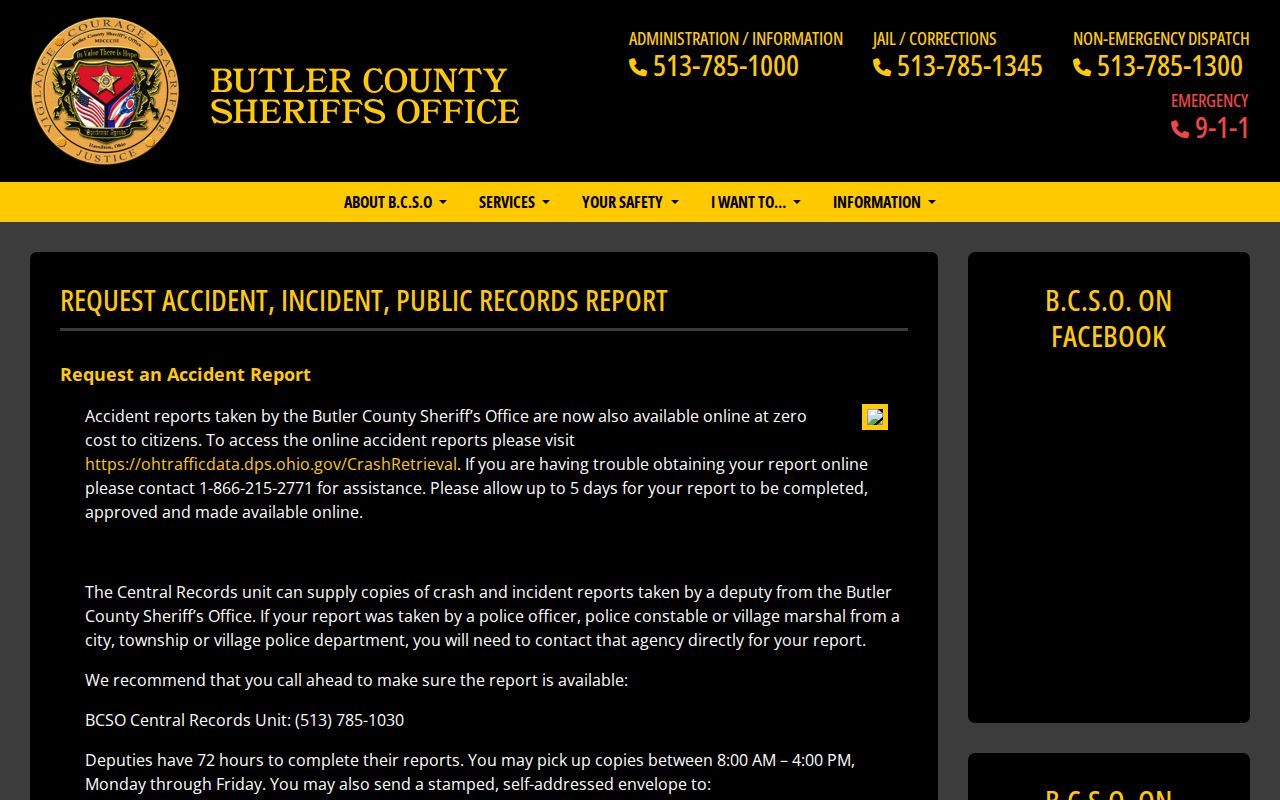
A Sheriff request is a separate incident or crash-record channel with its own redaction rules, not a substitute for parcel research or a neighbor directory.
Privacy Limits for West Chester Township Neighbors
A neighbor lookup can identify selected parcels and listed owners, not all people connected to a block. Renters, non-owner household members, utility customers, delivery information, confidential voter records, Safe at Home participants, camera registrants, and private community membership data remain outside the adjacent-parcel method. Do not use unrelated records to work around a protected address or a missing result.
Lawful use. West Chester Township neighbor research is for personal, lawful property, history, and community questions. Do not use address information to stalk, harass, intimidate, or harm anyone.
When a record appears inaccurate, contact the office that holds that parcel, document, voter file, or incident record. Ohio's public-record process seeks existing documents and requires custodians to apply confidentiality and redaction law.