
West Chester Township Previous Residents Sources
For previous residents, begin by choosing the right era. The Butler County Auditor establishes the current parcel identity and recorded owner label. The Recorder then supplies the land-document chain. Historical directories and census records can add household context only for their own dates and geographic scope. County maps, the historical-society files, and Lane library research can help when an address is older than its present street format. None of these sources supplies a complete list of every person who ever occupied a property.
| Source | Years It Covers | Where Held | What It Shows |
|---|---|---|---|
| Auditor parcel profile | Current property record | Butler County Auditor Property Search | PIN, owner label, situs, mailing lines, legal description, value, and transfer clues |
| Recorder online documents | 1987-present | Butler County Recorder Cloud Search | Recorded instrument chain, parties, dates, document or book/page references, and legal record |
| Recorder historic indexes | Before 1987 | Recorder counter and copy route | Geographic and alphabetical grantor/grantee indexes, historical books, plats, and in-lot routes |
| MidPointe regional directories | 1891-2000, with named gaps | Digital Archives and local-history shelves | Nearby household or address leads where the volume's geography fits |
| Federal census | Through 1950 publicly released in 2026 | National Archives and partner access | Household context at census intervals |
| BCHS plats, atlases, and building files | Maps for 1836, 1875, 1895, 1910, 1914, and 1930 | Butler County Historical Society and MidPointe | Land, place, old-road, and owner-map context |
A newer subdivision can often be worked from a street number to the Auditor PIN, transfer clues, Recorder documents, zoning or permit context, and historic imagery. An old village property needs a different opening: use an atlas or legal description, then historical Recorder indexes, maps, newspapers, cemetery sources, and census records. Each handoff should retain a source date, page, or document number.
West Chester Township Address Record Trail
A deed chain is the best way to trace recorded ownership backward, but recorded owners and previous residents are not interchangeable. In the Butler County Auditor Property Search, begin with the property record and preserve the PIN, situs address, owner label, tax-mailing field, legal-description lines, and transfer clues. The tax mail field may differ from the situs and does not establish that the owner occupies the property.
- Search the present parcel, then copy its PIN and legal description before opening a Recorder record.
- Use the Butler County Recorder Advanced Search to search the current owner as grantee.
- Match the acquisition to the parcel through the legal description, recorded date, and document number, not only a shared name.
- Take the named grantor from that instrument and search that party as a grantee for the earlier acquisition.
- Repeat the match backward, recording document type, parties' roles, date, number, book or page, and legal category.
- When the online era ends, take the names and legal description to the Recorder's historic routes rather than guessing from a street label.
- Grantor
- The party transferring an interest in a recorded instrument.
- Grantee
- The party receiving an interest in a recorded instrument. Searching a prior seller as grantee can locate that party's earlier acquisition.
- Chain of title
- The sequence of recorded instruments linked to the same property. It is not a complete record of who occupied the property.
- Legal description
- The lot, subdivision, township, plat, or other recorded land description used to match an old document to the right parcel when a street address changes or is absent.
Instrument type matters. A sheriff deed, certificate of transfer, estate conveyance, transfer-on-death record, mortgage or release, plat, and land contract do not mean the same thing as an ordinary purchase. The Recorder does not perform title searches. The researcher must define the parcel and date range, then preserve why each instrument was connected to that land.
Note: A legal description is the stabilizer for a historical deed trail because the current street address may not be the wording used in an old instrument.
West Chester Township Historic Records
The Recorder states that documents recorded from 1987 forward are online. Before that era, use the Recorder's geographic and alphabetical grantor/grantee indexes, historical-book, plat, land-record, and in-lot channels. Bring the legal description, book and page or document number when known, and the connected party names. A focused request can ask for a specific geographic-index entry, grantor or grantee entry, plat, or book reference. A broad request for a full house history is not the documented service path.
The Recorder has public Cloud Search, a counter at 130 High Street on the second floor, a focused email route at Recorder@bcohio.gov, and its copy policy distinguishes ordinary office printing from staff-assisted pre-1987 or written-request copies. The Auditor counter and phone channel can help clarify a property report, parcel change, acreage, or tax-plat question after the PIN has been identified. An Ohio Public Records Act request under ORC 149.43 is the written fallback for existing County or Township records outside a portal, subject to applicable privacy and redaction rules.
The Recorder's materials say its imaging project is complete and images are available online, while the office's dependable search-era instruction still directs older research to the historic geographic, alphabetical, book, plat, land-record, and in-lot routes. Both facts matter: a searcher should use the index route that fits the document era instead of assuming every old record begins with a modern address search.
West Chester Township Past Address Names
Older previous-resident work has an unusual name problem. West Chester Township was Union Township until June 28, 2000. Mechanicsburgh was recorded in 1817 and renamed West Chester in 1826. Gano, Maud, Pisgah, Port Union, Tylersville, and Rialto are additional historic place or postal terms. An old deed, directory, church account, newspaper, atlas, cemetery record, or court index may use one of those labels instead of the current township name.
Use those terms as search alternatives, not as proof that the same numbered address existed. The official Township timeline documents the names and the 2000 change. It does not verify an address conversion or a renumbering date. No authoritative street-renumbering project year was found. A historic map, plat, legal description, or contemporary source should bridge an older place reference to a current parcel.
That is why the township's history is more than local color. It tells the researcher which terms to carry into a catalog, index, or map search before deciding that a person or property is absent from the record.
West Chester Township Previous Residents Households
Ownership is only one layer of the question of who lived here before. The nearby MidPointe directory run can add a dated name or street-guide lead when its Middletown or regional scope fits. It is not a continuous West Chester Township run. Its 1891-2000 coverage has documented gaps, and the platform's OCR can be wrong. Pair a directory year with the closest released census instead of treating a missing volume or a missing name as proof that a household disappeared.
- Start from an address or person found in a volume with a visible title, date, and page.
- Check the same-year street guide if the directory provides one and the geography fits the address.
- Search the nearest surviving directory years without silently bridging MidPointe's documented gaps.
- Use the closest released federal census to test household context at a census interval.
- Use local newspapers, an obituary, cemetery search, or probate record only as a separate dated endpoint or corroborating lead.
The Lane Libraries local history and genealogy service accepts research requests for property history, obituary and newspaper work, local history, military records, photographs, and archive access.
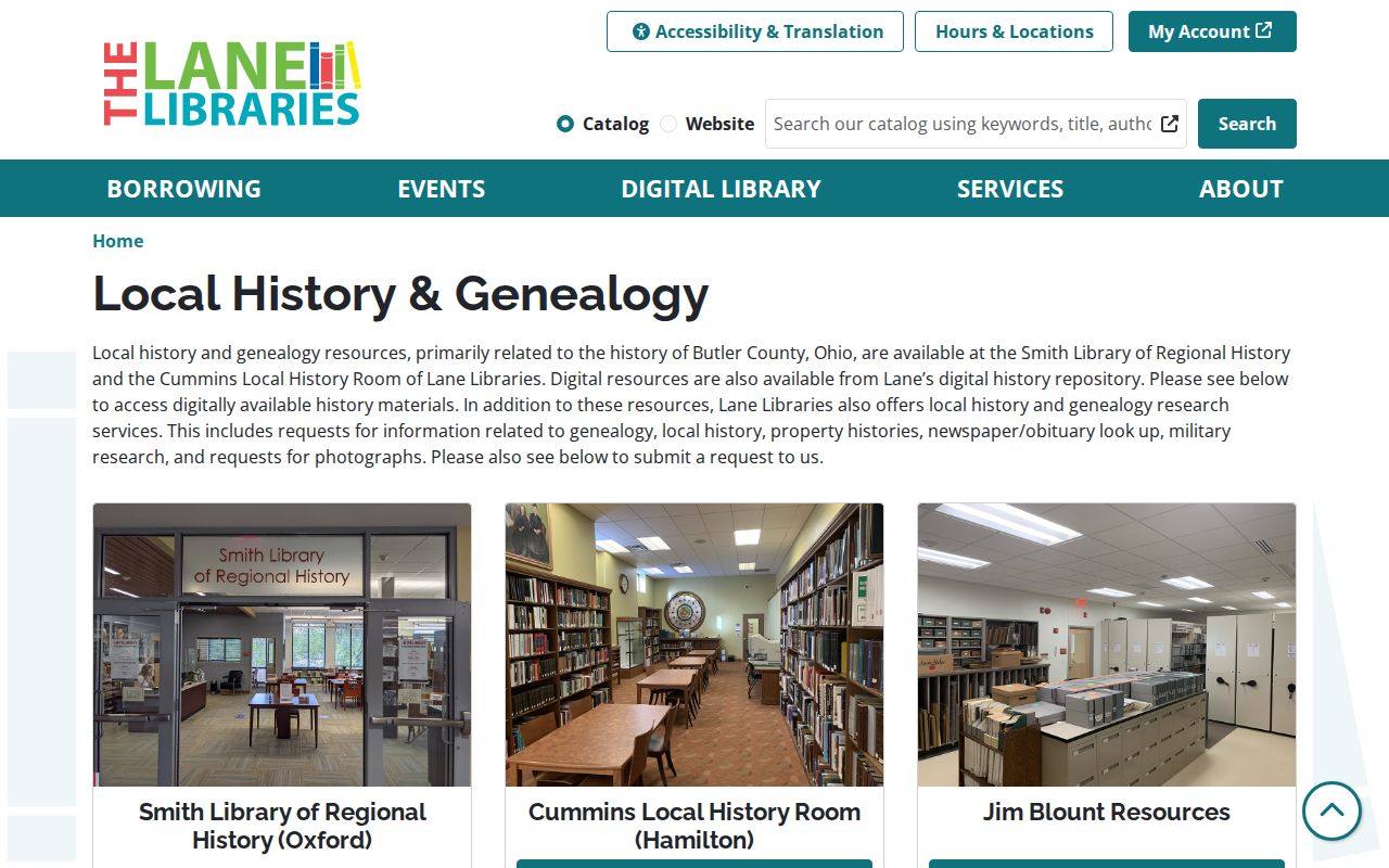
Give Lane a historic alias, address, date range, parcel or legal description, and the specific question so staff can identify a relevant collection rather than infer a household from a broad request.
Lane's historical newspaper inventory identifies the location and format of its township and nearby titles.
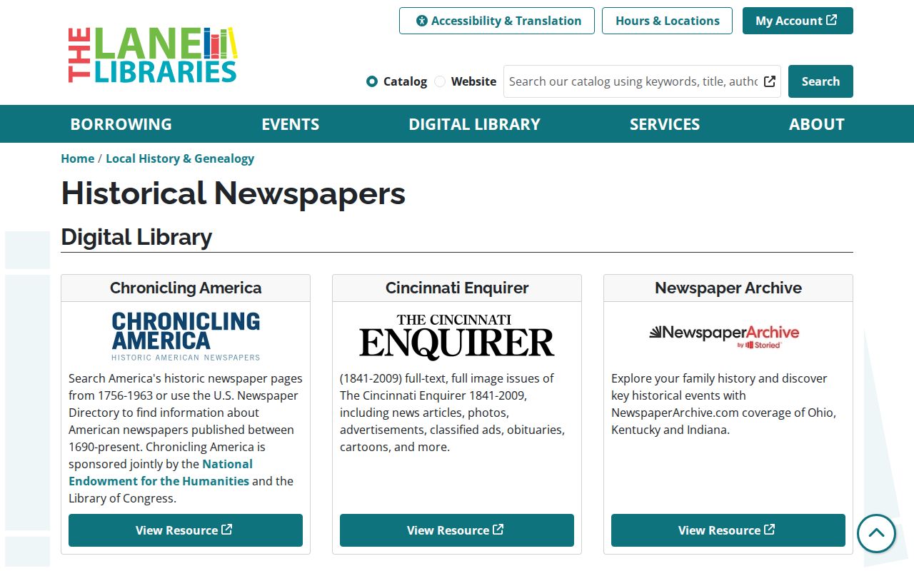
The inventory warns that availability can have gaps, so a newspaper item is a dated lead rather than a substitute for a deed, census, or directory citation.
The National Archives census research route is the federal source for the released schedules.
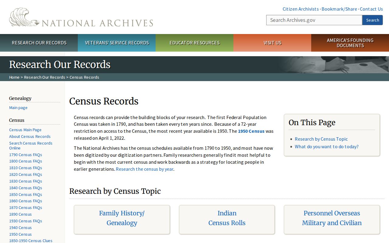
In 2026, 1950 is the latest fully available federal census under the 72-year release practice, so later household questions need other dated sources.
The directory collections themselves are detailed on the West Chester Township city directory page; the focus here remains the backward address trail.
West Chester Township Historic Address Maps
Plat maps and atlases can restore the land context that a current street number loses. Butler County Historical Society materials include building histories, court and legal documents, and landowner maps from 1836, 1875, 1895, 1910, 1914, and 1930. MidPointe's 1895 County of Butler, Ohio: Imperial Atlas and Art Folio includes Union Township and village plates, a farm index, and charts. Use the map as a location and owner-map lead, then take that lead back to the Recorder and other dated sources.
The 1895 Butler County atlas is a named source for Union Township and village plates.
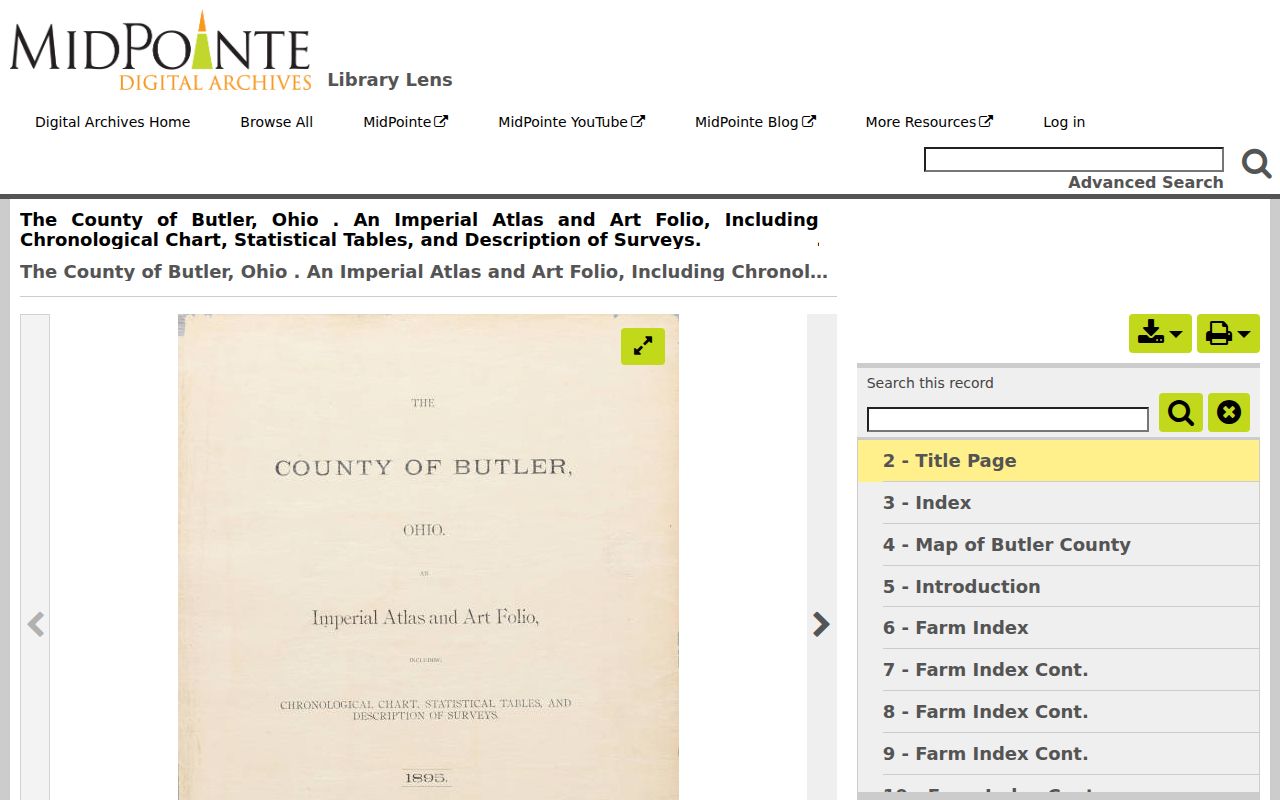
For Olde West Chester, Port Union, Pisgah, Maud, Gano, Rialto, or Tylersville, maps and historic aliases may be more useful than forcing the search into a late-era parcel number.
No authoritative source verified a Sanborn Fire Insurance Map run for rural West Chester or Union Township. Use the atlas, plat, Recorder, and historical-society sources that are documented instead of claiming a Sanborn year.
West Chester Township Previous Residents Endpoints
A dated death, burial, obituary, or estate record can close part of a historical trail without identifying a current household. West Chester's Brookside Cemetery began as the Cummins family graveyard and later served the community. Its history includes a Potter's Field and old stones that may be unreadable. The cemetery material therefore needs its own source qualification: the Township identifies Nancy (Legg) McMaken, who died in 1820, as the oldest known readable grave, while another Township feature discusses Solomon Brecount's 1799 marker.
The Brookside Cemetery searchable burial directory accepts name and year criteria and returns available burial information with a map location.
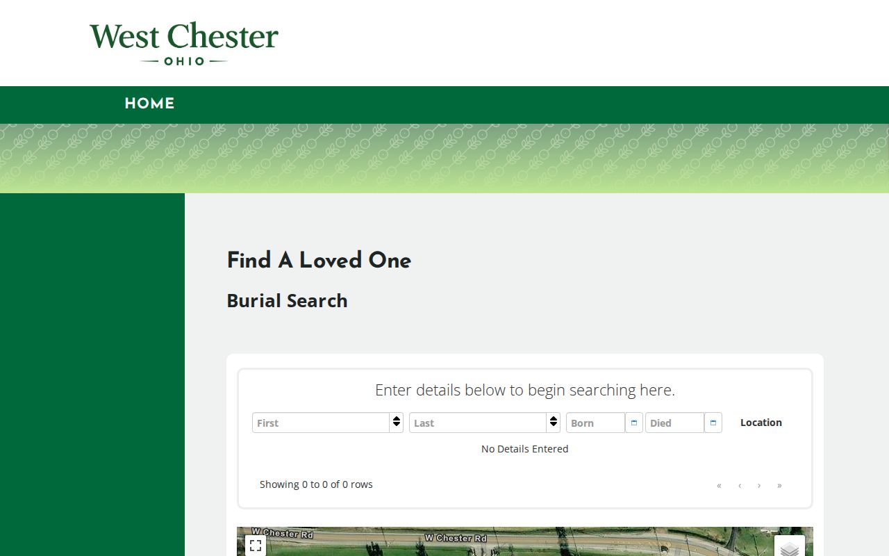
Brookside can supply interment context for a historical trail, but it does not establish where a person lived at another date. Probate Court estate and guardianship records, newspapers, and historical-society materials are separate routes when the source facts point there.
West Chester Township Address Record Limits
Past-resident research should preserve the boundary between a property record, an owner, a dated directory name, and a documented household. The Auditor parcel layer has owner and mailing fields but no deed image or household roster. Recorder documents identify recorded parties and instruments, not continuous occupation. Historic listings, census records, maps, newspapers, and cemetery material each have their own date, coverage, and omissions. Keeping those limits visible is part of an accurate house or family history.
If a record is not online, use the documented counter, phone, email, library, archive, or focused existing-record request channel. A precise request based on a PIN, legal description, book and page, document number, historic name, or date range is safer and more useful than an attempt to turn partial public records into a modern people list.
Note: A source can show a party, owner, householder, or burial fact for its stated date without proving every person connected with an address.